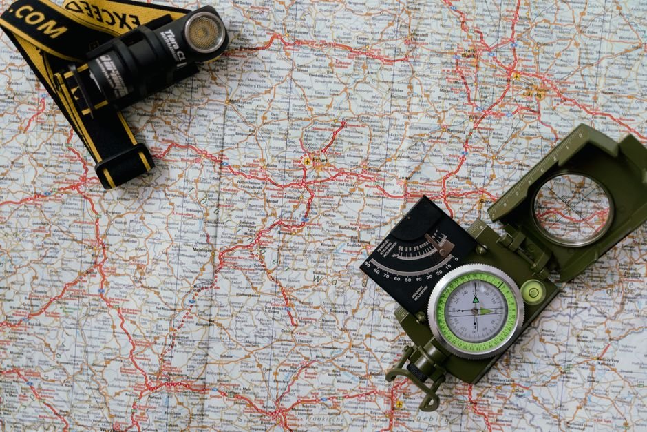
How to read a topographic map involves interpreting contour lines and elevation changes, which are key to navigating complex terrains effectively. While GPS can guide you, a topographic map reveals critical details that can significantly improve your outdoor adventures, turning potentially daunting hikes into manageable journeys. By recognizing elevation variations, you can make informed decisions about your route and avoid hazardous areas.
Initially, interpreting topographic maps, especially contour lines, can feel overwhelming. However, with practice, anyone can develop the skills needed for confident navigation in the wilderness. Here’s how you can master it.

Contour Lines for Elevation Changes
Contour lines are crucial for understanding elevation changes. Unlike standard maps, topographic maps depict the three-dimensional nature of terrain. Each line represents a specific elevation; closely spaced lines indicate steep slopes, while wider gaps represent gentle inclines. For example, if the lines are spaced every 25 feet, a steep slope could lead to a challenging ascent that tests your endurance.
To effectively read contour lines, start by identifying index contour lines, which are usually darker and labeled with their elevation. For instance, seeing a line labeled ‘1000’ indicates an elevation of 1,000 feet. The contour interval, the vertical distance between these lines, varies by map, so always reference the map’s legend. With practice, reading these markers will become intuitive.
Interpreting Map Legends and Symbols
Topographic maps come with legends that explain the symbols used for various features like trails, water bodies, and roads. Familiarizing yourself with these symbols is critical for quickly identifying landmarks during your hike. For example, blue might represent water sources, while brown indicates elevation features.
The map legend also uses color coding for different terrain types; for instance, green signifies wooded areas and white often indicates open land. This context can significantly influence your hike planning by indicating what types of terrain you may encounter, thereby impacting your gear choices and route planning.

Using Scale for Accurate Measurements
The scale on a topographic map is vital for understanding distances and planning your route. For instance, a scale of 1:24,000 means that one inch on the map corresponds to 24,000 inches in reality. Measuring the distance on the map will allow you to convert these dimensions into real-world distances. By taking these measurements, you can set realistic expectations for the length and duration of your hike.
It’s also important to consider the contour intervals in conjunction with the scale. Together, they allow you to plan a route that aligns with your capabilities and your schedule. Always add extra time if elevation changes are steep or if the terrain is particularly challenging.
Identifying and Avoiding Common Mistakes
New map readers often overlook contour lines or misinterpret their spacing, leading to challenges on the trail. One prevalent mistake is assuming that a short trail is easy; significant elevation changes can complicate even the briefest routes.
Additionally, frequently checking the map while hiking is crucial. Relying solely on memory could lead you off course, especially in dense or unfamiliar terrain. Develop the habit of comparing your position to the map regularly; this practice increases navigational confidence and accuracy.
Gaining Practical Experience in Real Situations
Theoretical knowledge gained from studying maps at home is beneficial, but hands-on experience is invaluable. Find a local area equipped with a quality topographic map and explore it for a day. Make a point to identify contour lines and assess whether they match the real-world landscape. For instance, if the map indicates a steep slope, gauge whether it aligns with your expectations.
Consider going with a friend or joining a group hike to discuss map interpretations and how to read a topographic map as they compare with the actual terrain. This collaborative experience will help reinforce your skills as you gain insights from different perspectives. Remember, it’s wise to start with simpler areas and gradually progress to more complex terrains.
Your Map Reading Skills vs. GPS: A Clear Verdict
Learning to read a topographic map is a critical outdoor skill. While digital navigation aids offer convenience, being able to interpret contour lines, legends, and scales provides a deeper understanding of your environment. This knowledge not only enriches your outdoor experience but also enhances your decision-making abilities based on specific trail conditions.
So grab a map, venture outdoors, and explore the wealth of information at your fingertips. Developing these skills will elevate your sense of adventure and confidence on the trail.
There is more on trekking adventures elsewhere on the site.
Frequently Asked Questions
What are contour lines on a topographic map?
Contour lines on a topographic map represent lines of equal elevation, connecting points that are at the same height above sea level. They help visualize the terrain’s shape, indicating hills, valleys, and slopes.
How do you determine elevation on a topographic map?
To determine elevation on a topographic map, locate the contour lines and look for the numbers that indicate the elevation at those points. The difference between adjacent contour lines, known as the contour interval, tells you how much elevation changes between them.
Why are topographic maps important for hikers?
Topographic maps are important for hikers as they provide detailed information about the terrain, including elevation changes, slopes, and natural features like rivers and peaks. This information helps hikers plan their routes, assess the difficulty of trails, and ensure safety.
Can you use topographic maps for navigation?
Yes, you can use topographic maps for navigation as they offer a comprehensive view of the landscape, allowing users to identify landmarks, trails, and elevation changes. When combined with a compass or GPS, they can effectively guide users through various terrains.
How are topographic maps made?
Topographic maps are made through a combination of aerial surveys, satellite imagery, and ground measurements, which gather data on the terrain’s elevation and features. This information is then processed and represented through contour lines and symbols on the map.




Leave a Reply